The environmental cost of Dominion's proposed Atlantic Coast Pipeline is unacceptable.
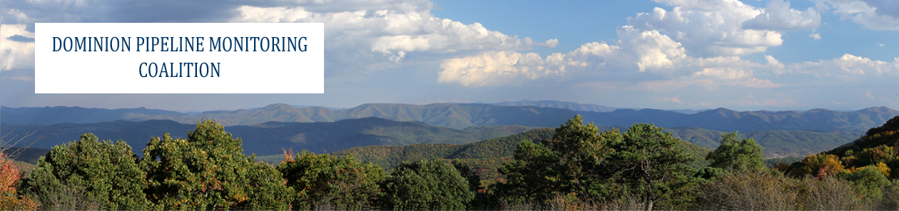
The proposed pipeline will cross the central Allegheny Highlands, the Blue Ridge Mountains, and the adjacent valleys. It will cut through 30 miles of national forest and cross numerous rivers, streams, and wetlands. This area represents the heart of the remaining wild landscape in the eastern United States, and it is a major biodiversity refugium that can only increase in rarity and importance.
The proposed pipeline will be 42 inches in diameter, requiring excavation of an 8 to 12-foot-deep trench and the bulldozing of a 125-foot-wide construction corridor straight up and down multiple steep-sided forested mountains. It will require construction of heavy-duty transport roads and staging areas for large earth-moving equipment and pipeline assembly. It will require blasting through bedrock, and excavation through streams and wetlands. It will require construction across unstable and hydrologically sensitive karst terrain.
Pipeline construction on this scale, across this type of steep, well-watered, forested mountain landscape, is unprecedented.
It will be impossible to avoid degradation of water resources, including heavy sedimentation of streams, alteration of runoff patterns and stream channels, disturbance of groundwater flow, and damage to springs and water supplies.
It will be impossible to avoid fragmentation and degradation of intact, high-integrity forests, including habitat for threatened and endangered species and ecosystem restoration areas.