If built, the ACP could mar the beautiful, unfragmented viewshed of the southern end of the proposed 90,000-acre Shenandoah Mountain National Scenic Area that stretches from Rt. 250 north to Rt. 33 on the western side of the Shenandoah Valley. A new utility corridor across the Braley Pond area and Hankey Mountain would:
- diminish scenic beauty
- degrade popular recreational resources
- fragment core forests
- damage wild brook trout streams
- industrialize a major gateway to the scenic area
A permanent corridor of this magnitude could degrade the natural and scenic characteristics of the proposed National Scenic area to the point where it could jeopardize its viability for Congressional designation.
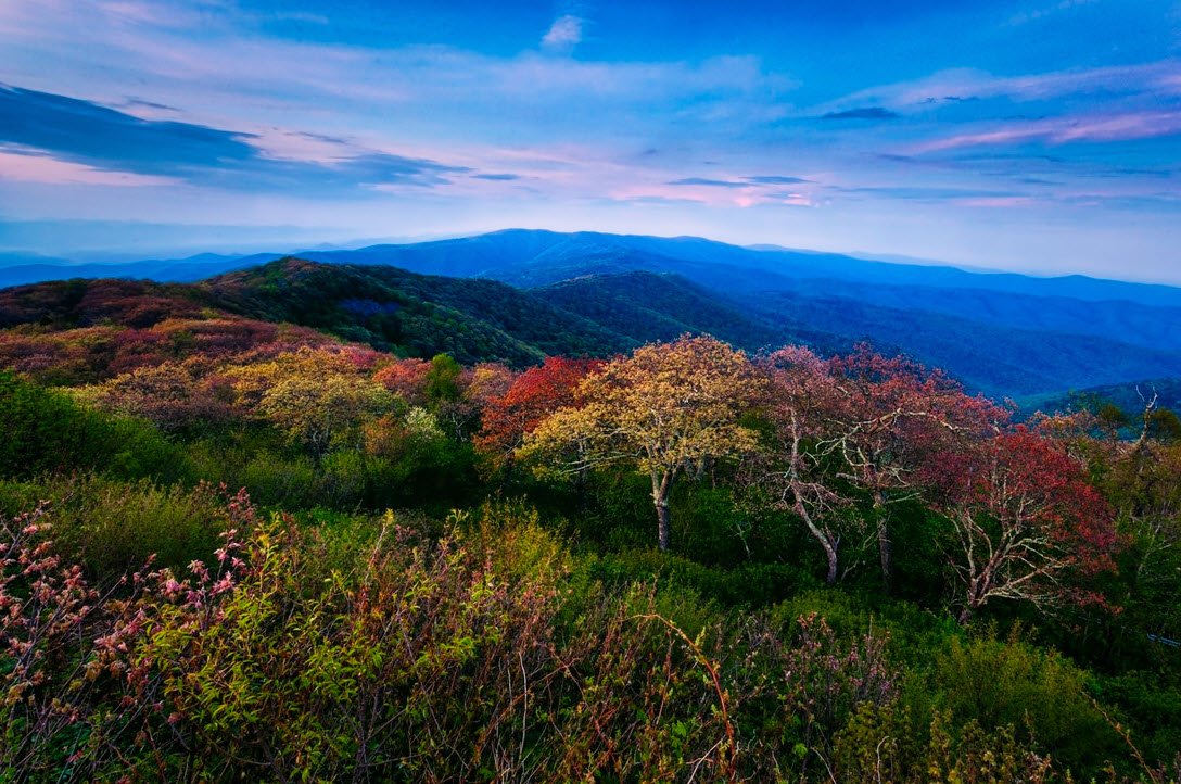
Shenandoah Mountain
The Natural Gas Act requires FERC to assess impacts to scenic areas and recreational trails. Yet, the Draft EIS for the ACP does not consider impacts to this special area which was proposed for Congressional designation by Friends of Shenandoah Mountain a decade ago, recommended by the 2014 George Washington National Forest plan, and endorsed by over 280 diverse organizations and businesses. In addition, the DEIS ignores impacts to the Wild Oak National Recreation Trail and dismisses Forest Service requests to re-evaluate wild brook trout stream crossings on Hankey Mountain.
In order to comply with NEPA, FERC needs to start over and do a proper DEIS that fully considers significant impacts to one of the largest, mostly unfragmented tracts of national forest land east of the Mississippi River. The proposed scenic area and its water and recreation resources are revered by the public and deserve due consideration in the DEIS.
See Story Map: Proposed Shenandoah Mountain National Scenic Area and the ACP