The CSI team has selected Avenza Maps as a field navigation and orientation tool for the CSI monitoring effort. It is a relatively simple application that allows you to download maps for offline use on smartphones or tablets.
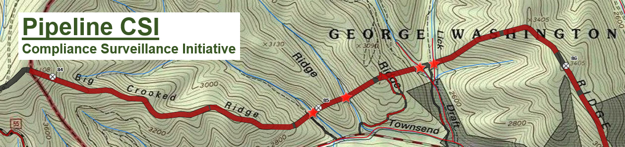
- ACP project maps (14 route segments) have been prepared that show the location of the proposed pipeline construction right-of-way and access roads.
- Avenza Maps uses the GPS in your phone or tablet to determine your location.
- A blue point on the map shows your location in relation to roads, streams, and topographic features, as well as the pipeline right-of-way and access roads.
- Download and install up to three maps in your area(s) of interest using the free version of Avenza Maps.
Learn how to install Avenza and download the ACP project maps.
Avenza Maps instructions for iPhone
Avenza Maps instructions for Android